About Us
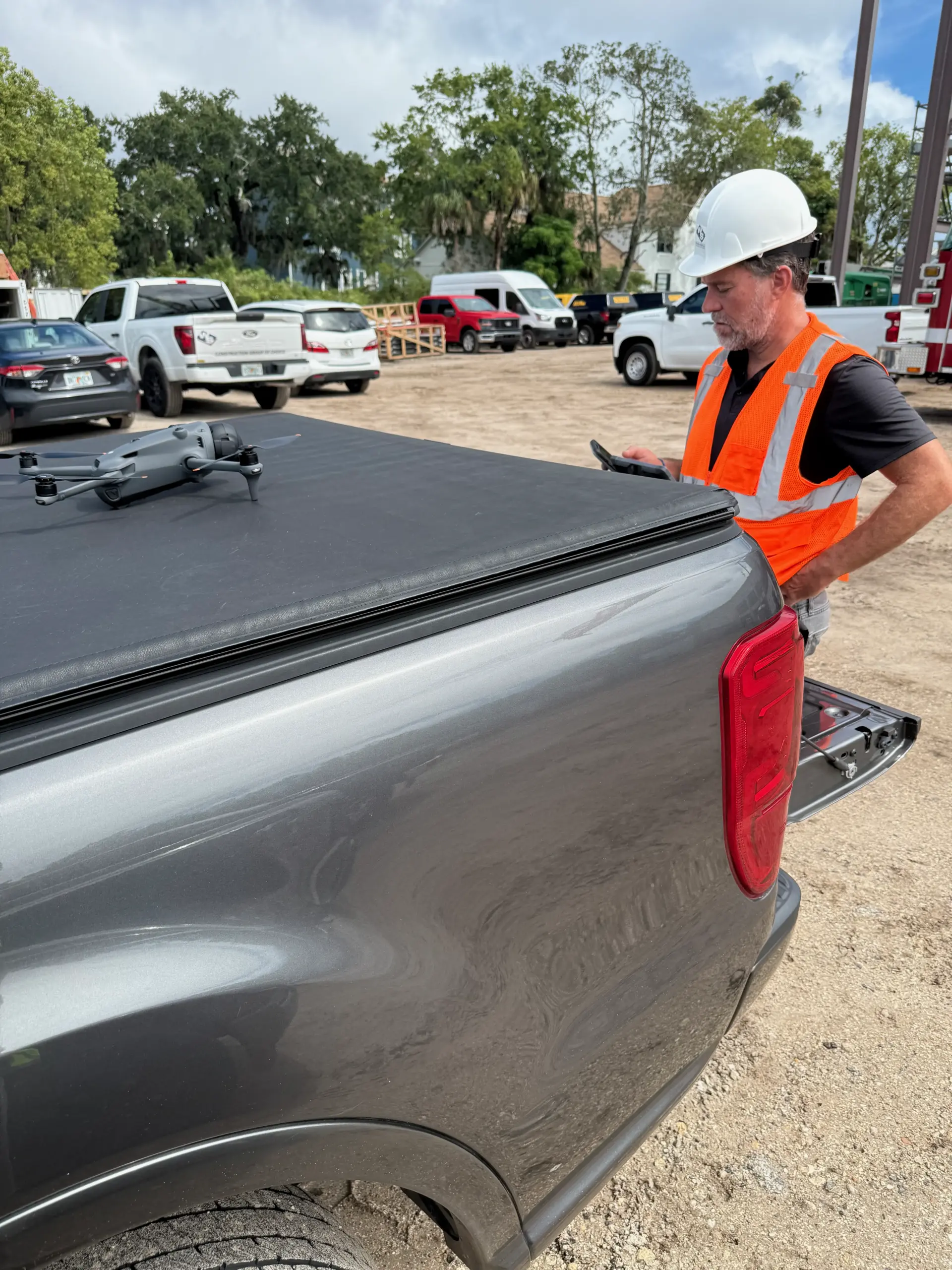
Arise Aerial is an FAA certified drone services provider. With the use of high resolution cameras and Unmanned Aircraft Systems (UAS), we offer real estate marketing, construction monitoring, mapping and photogrammetry, surveys, inspections, and other drone services. We also specialize in video production and creative content. We understand the importance of sharp, breathtaking content to help tell your story. Bring us your idea and we’ll bring your project to life.
Contact
☎ CONTACT
ariseaerial@gmail.com
Services
Aerial Photo & Video
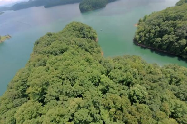
At Arise Aerial, we help tell your story with beautiful 20MP images and breathtaking 4K video from the best perspective. Our FAA certified remote pilots utilize the most advanced UAS technology equipped with ultra-high definition cameras and super smooth image stabilization. Whether you’re making a movie, filming a commercial, marketing a home, enhancing your social media content, or documenting a special event, we will surpass your expectations and bring your project to life.
mapping
Arise Aerial’s revolutionary UAS technology and sophisticated backend processing systems map large acreage with minimal time requirements, far surpassing Satellite maps and outdated aerial images. By capturing thousands of HD images and stitching them together, we compose a single, precise and current image of your property with unbeatable quality and resolution. With 3D imaging and orthomosaics, we provide you with the invaluable ability to measure distance, elevation, volume, crop condition, and more.
Real estate
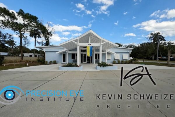
Aerial images can help sell your home 68% faster than homes with standard images according to MLS statistics. Using our HD cameras and image stabilization equipment, your properties will be showcased in the most flattering and effective way possible from the air and the ground. From an expansive bird’s eye view of the neighborhood to the finest details in the master bathroom, we will immerse buyers into the best features of a home. Home buyers do judge a book by its cover, so it’s no surprise that 85% of sellers list with agents using video. Stand out from the competition, sell faster, demand a higher selling price, and gain more listings.
Surveys and Inspections
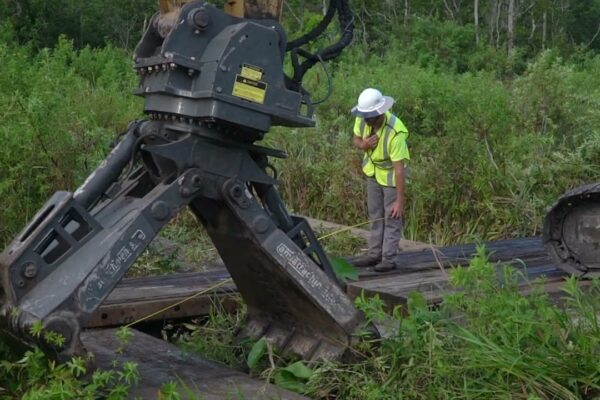
From inception, Arise Aerial has focused on bringing value to the inspection and surveying market. From communication towers and high-rise buildings to pre-development acreage surveying and farms, our roots are in the technical inspections. Arise Aerial uses the latest UAS technology, high-skilled pilots, and advanced software to provide high impact data with far-reaching benefits to your organization such as increase visibility to fine detail,speed up decision making capabilities, decrease maintenance costs, and increase safety.
construction
Large-scale visibility of construction projects has the power to transform overall workflow. By utilizing aerial photos, maps, and 3D models, we give you access to an unprecedented amount of information about your project and your assets to help you stay on schedule and on budget. At Arise Aerial, we can provide daily, weekly, or monthly images from an exact, repeatable perspective to help track job progress, equipment, materials, crews, stockpiles, and more (see MAPPING).
Cinematography & Video production
Not only do we provide aerial footage, but we can also assist you on your next video production project. We service businesses for promotional campaigns, interviews, social media video content, and much more. We also document private events for special occasions and capture moments that will last a lifetime. As adoption of video continues to grow at a rapid pace, we want to be the arm of your business that provides original content to increase awareness and ROI for your business.